
This is part of a multipart photo walk around the former London docklands. I’ve put an index to all the articles at the bottom of the page.
History
Rotherhithe’s port history began with Elizabethan shipyards. It was a busy working dock until the 1970s when, like the other London docks, containerisation made it obsolete. In the 1980s, the docks closed and were largely filled in and replaced by modern housing and commercial facilities, redeveloped as a mix of warehouse conversions and new-build developments.
Rotherhithe still retains much of its maritime heritage and character, particularly the former Surrey Docks area, which had strong trade links to Scandinavia and the Baltic region. The area is home to a thriving Scandinavian community, with churches and street names reflecting the long history.
Start of the photo walk
I started the walk at the drum-shaped Canada Water tube station (see banner photo above) adjacent to Canada Water lake.
The lake is named after the former Canada Dock, of which Canada Water is the surviving northern third. Canada Dock was mainly used by ships from Canada(!). Half of Canada Dock was infilled during regeneration works and the Surrey Quays Shopping Centre built on top. The remaining lake is a wildlife refuge and is the only body of fresh water in the London Docklands. The lake is now kept filled with fresh water using a wind pump.
The area continues to be redeveloped with residential developments, a library, cafés and restaurants around the lake, and plans to redevelop the shopping mall, build 3,000 new net zero carbon homes and 2 million sq ft of workspace accommodating 20,000 workers. The plans include the construction of 16 acres of parks and open areas.


Next stop is Greenland Dock to the south of Canada Water, walking past the Daily Mail print works the Surrey Quays shopping centre and the Odeon Cinema complex to the Greenland Dock bascule bridge.


Once through the foot tunnel under the Bascule bridge, you arrive at the quayside of the redeveloped Greenland Dock.


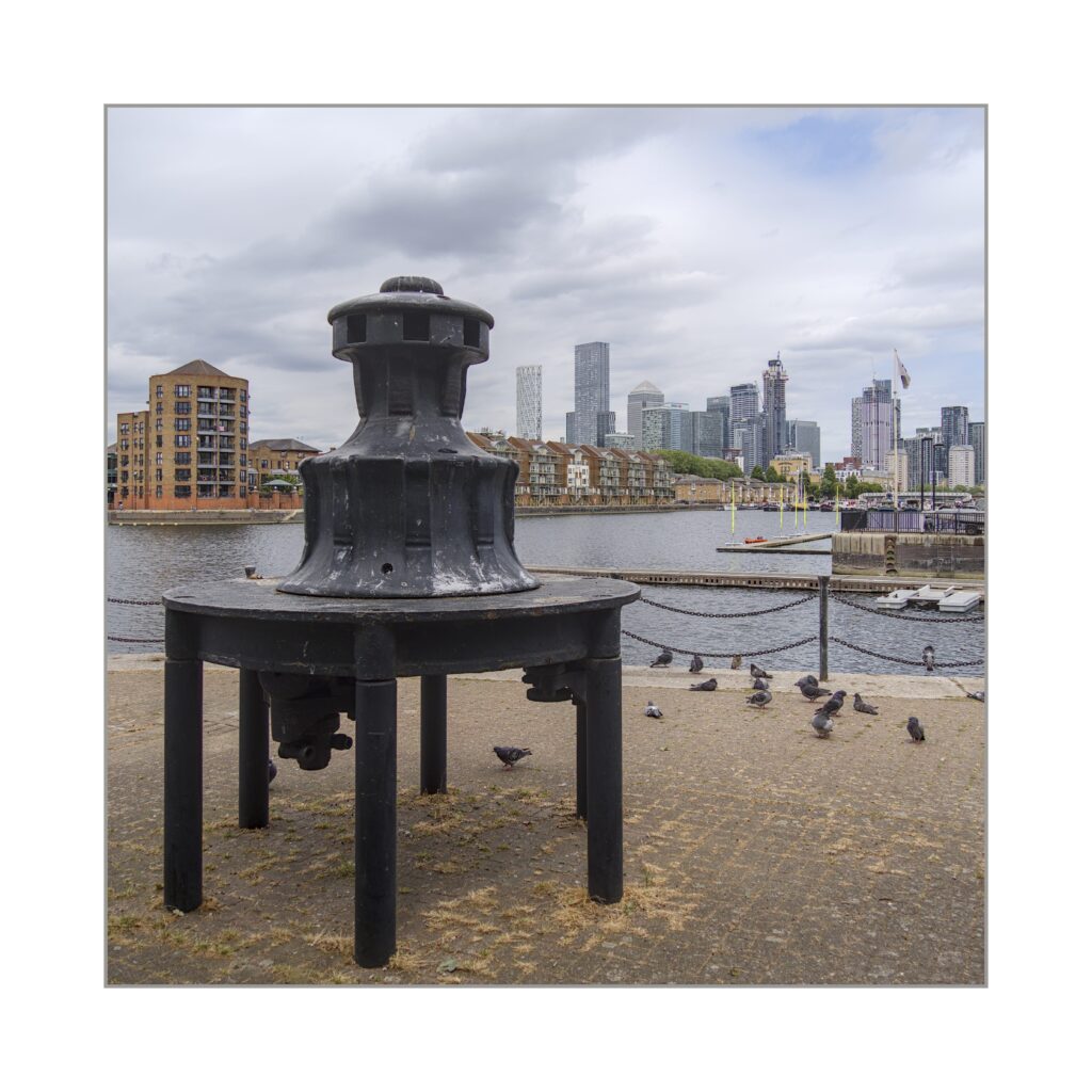
It’s a fairly long walk up the length of the dock towards the river. About halfway along there is a boat launching slipway and some industrial relics on Greenland Quay.
Continue further along the Greenland Dock until you come to the lock that originally provided access from the dock to the River Thames (access is now via the lock in South Dock).


Next to the outer lock gate is the Tide Gauge House. This Grade II listed building (of special architectural, historical or cultural significance) formerly hosted a gauge for measuring the height of the river. This was essential for lock operations.

As I was exploring the lock area, rowers passed on the river.


Adjacent to Greenland Dock is the smaller South Dock marina with a number of opportunities for dockside abstracts. I call this little sequence “A study in yellow“.


There are many interesting boats in the South Dock marina with lots of opportunities for close ups, details and abstracts.


Norway Dock
The last stop before departing for home is the former Norway Dock, a tiny sliver of water just to the north of Greenland Dock. Norway Dock has been converted to a residential area called “The Lakes” with houses built out over the edge of the remaining water on platforms (on stilts?) which is now a small lake full of fish. The best views (by design!) will be from the inaccessible to the public terraces around the lakeside houses. Unfortunately, all mere mortals can do is sneak a peak through the gaps and tunnels between the houses.

Albion Channel
That wraps up my explorations of Rotherhithe docks, except on the walk back to Canada Water station, I came across the Albion Channel. This is a kind of suburbanised canal that joins Canada Water and Surrey Water. It runs through the middle of residential properties and acts as an ornamental water feature/canal walk for residents. At times, it is so narrow you could almost step across from one side to the other. It is home to various outcrops of reeds and lots of duck weed algae.

The End
This completes my photo walk explorations of the regenerated former London docklands areas. Hope you found it interesting and are inspired to have a look for yourself.
Next, it will be the Square Mile, the financial district and original City of London. See you there!
Getting there
Rotherhithe is well served by public transport. There are Rotherhithe, Canada Water and Surrey Quays stations and the Thames Clipper river boats has stops in the area. You can even drive there, especially from the south side of the river.
Where are the Rotherhithe Docks?
Index to Docklands photo walk series
Photowalk #2 London Docklands north side – Part 1: St Katherine Dock to Limehouse Basin
Photo walk #3: London Docklands north side – Part 2: Canary Wharf and the Isle of Dogs
Photo walk #4: London Docklands north side – Part 3: The Royal docks and Thames Barrier